American Water
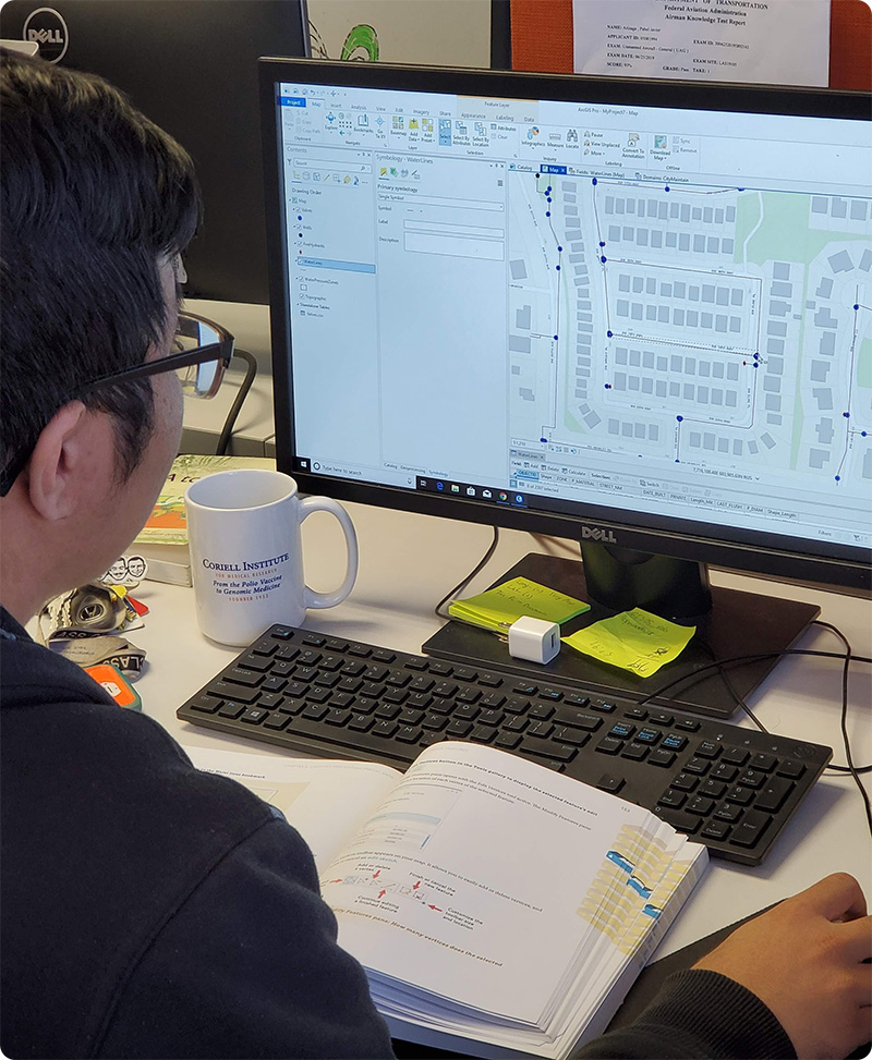
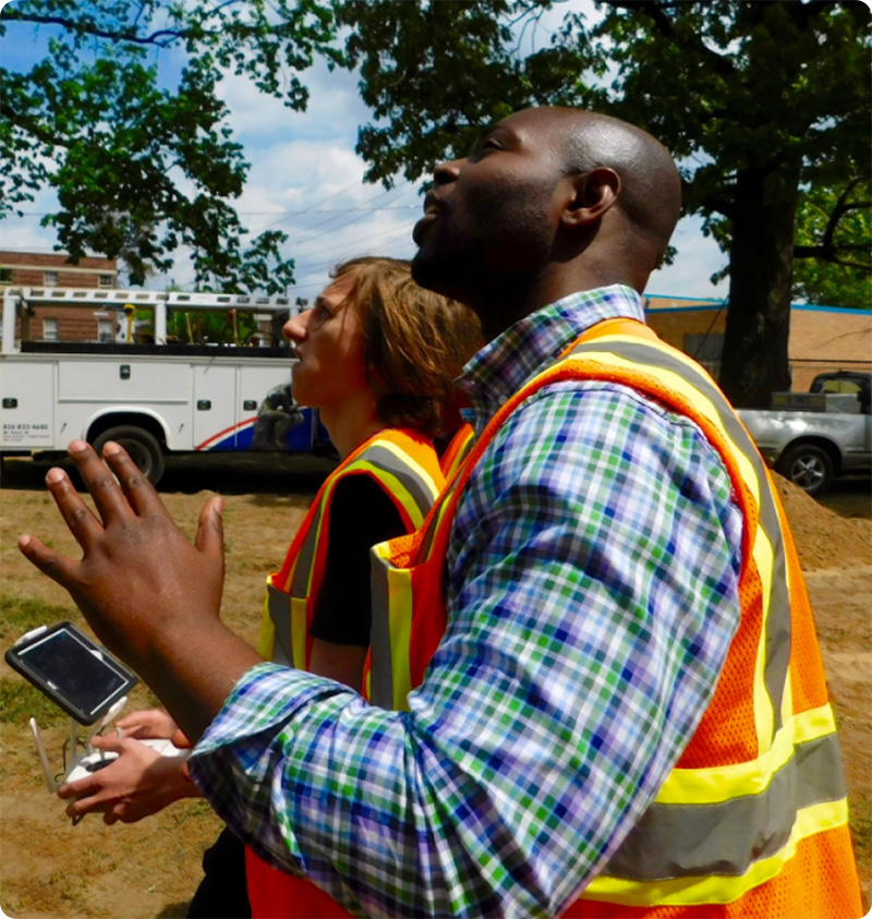
Over the course of an ongoing partnership, Hopeworks has processed over 1,000,000 records for American Water. Hopeworks GIS team assembled both field and remote teams to collect, process, and check the American Water data and place it into their Computer Maintenance & Management system.
This provided American Water a cost-effective, highly accurate, and incredibly impactful way to process the data they needed and impact the surrounding community.
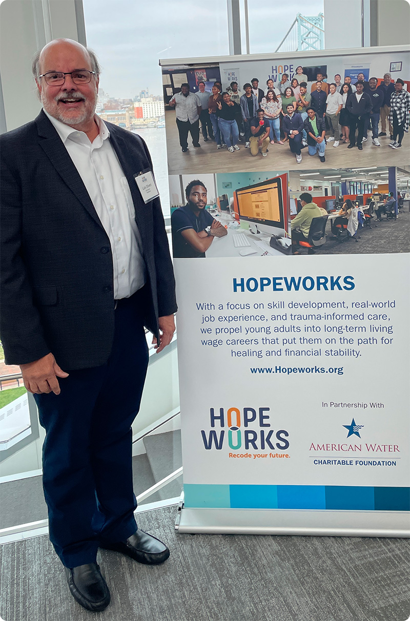
"By partnering with Hopeworks, we provide real-world work experience in one of the most in-demand, growing fields, all while benefiting our customers by improving operational efficiency field crews navigating digital information. The team from Hopeworks has far exceeded our expectations; their performance is on par with any professional engineering organization in the industry."
- Chris Kahn, Senior GIS Manager, New Jersey American Water


Pinelands Preservation Alliance
Project (1) Understanding DEIA and zoning impact on the Pinelands
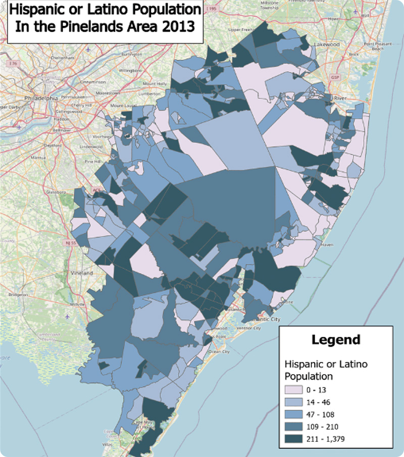
PPA contracted Hopeworks to provide an analysis of population distribution in and immediately around the Pinelands by race/ethnicity, and then to identify causes for the patterns that emerge. They want to better understand how land use controls, which are a key tool of Pinelands protection, have also been used to further housing segregation. While they know that NJ is generally a very segregated place, they would like to know what that means in the Pinelands and to what extent it correlates with particular zoning and land use policies. In addition, they were interested in knowing where there are neighborhoods with larger numbers of Black andLatinx families in the Pinelands where they might make new connections in order to better understand and support these communities’ environmental and health concerns.
Project (2) Analyzing land use, farming, and forested areas within the Pinelands
PPA contracted Hopeworks to provide an analysis of farming in and around the Pinelands. PPA wanted more reliable data in GIS form on the farms, and farm types, in New Jersey. They wanted to identify the portions of parcels being farmed (verses forested) and the type of farming in each case. The project also had to include some ground-truthing, which provided an opportunity to drive around agricultural areas with PPA staff.
Project (3) Helping to make the Pinelands more accessible
Hopeworks will work with PPA to develop, publish, and maintain an online website and interactive map that will serve to improve the knowledge and access of natural places in the Pinelands for people with a range of disabilities. PPA is looking to have Hopeworks help survey these natural places, detail their conditions, and then share the info on an online website that includes an interactive map.
Comcast RISE
Need: The Comcast RISE Team needed an interactive web map that not only highlighted where their Comcast RISE recipients were located, but also detailed key layers of information.
From key details about the recipients, to available small business and MWBE business information, to layering congressional districts and city district boundaries, the interactive map needed to consist of valuable data and serve as a visualization tool that highlights geospatial data.
Solution: Hopeworks developed a custom, interactive map that sorts all of the Comcast RISE awardees by state, award type, Comcast business region and Effectv video advertising region.
Hopeworks also included a search bar that enables viewers to find businesses closest to them. Each business, represented by a colored dot, is relative to those business owners who were struggling due to the pandemic (Comcast RISE awardees).
Website: www.comcastrise.com
Map: www.comcastrise.com/map-of-recipients/


Michaels Development Organization
Need: The QAP sets out the state’s eligibility priorities and criteria for awarding federal tax credits to housing properties (LIHTCs). In order to identify and target optimal geographic areas, and take advantage of New Jersey's tax credit qualified allocation plan, Michael’s needed an interactive map that houses the necessary information.
Solution: Hopeworks developed a custom GIS map with multiple layers of data that allowed Michaels to easily access necessary demographic information, and locate desired geographic areas for development opportunities.
Hopeworks created a heat map like function to highlight the areas that would provide the most tax credits. Hopeworks even included parcel information so that Michaels could better evaluate options and reach out to landowners.
